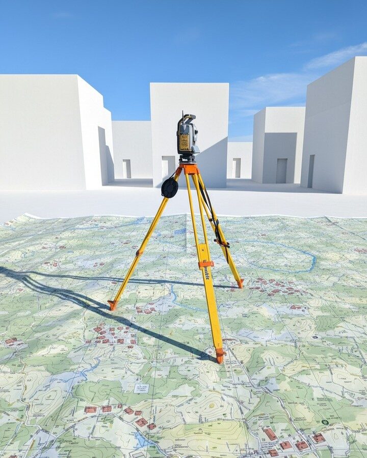
Land Surveying & Mapping
High-precision cadastral and topographic surveys using GPS and drone technology for all land classifications.
More Details ↗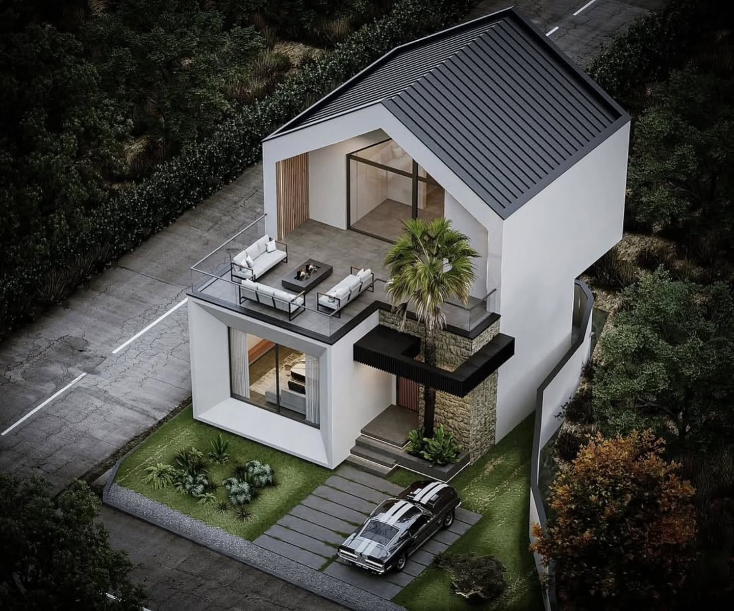


End-to-end solutions that shape Tanzania's built environment — from the first survey stake to the final structure.
High-precision cadastral and topographic surveys using GPS and drone technology for all land classifications.
More Details ↗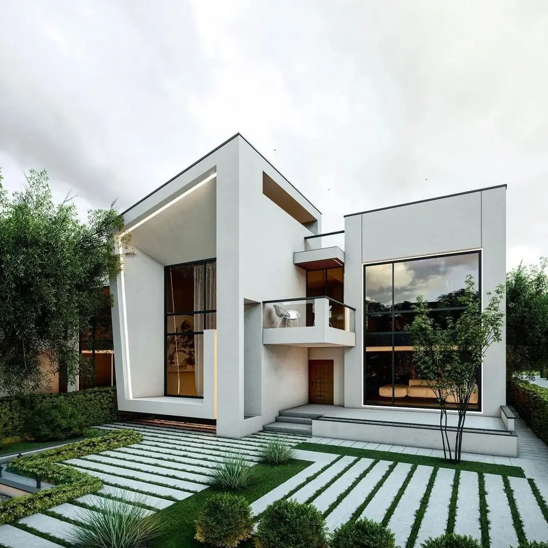
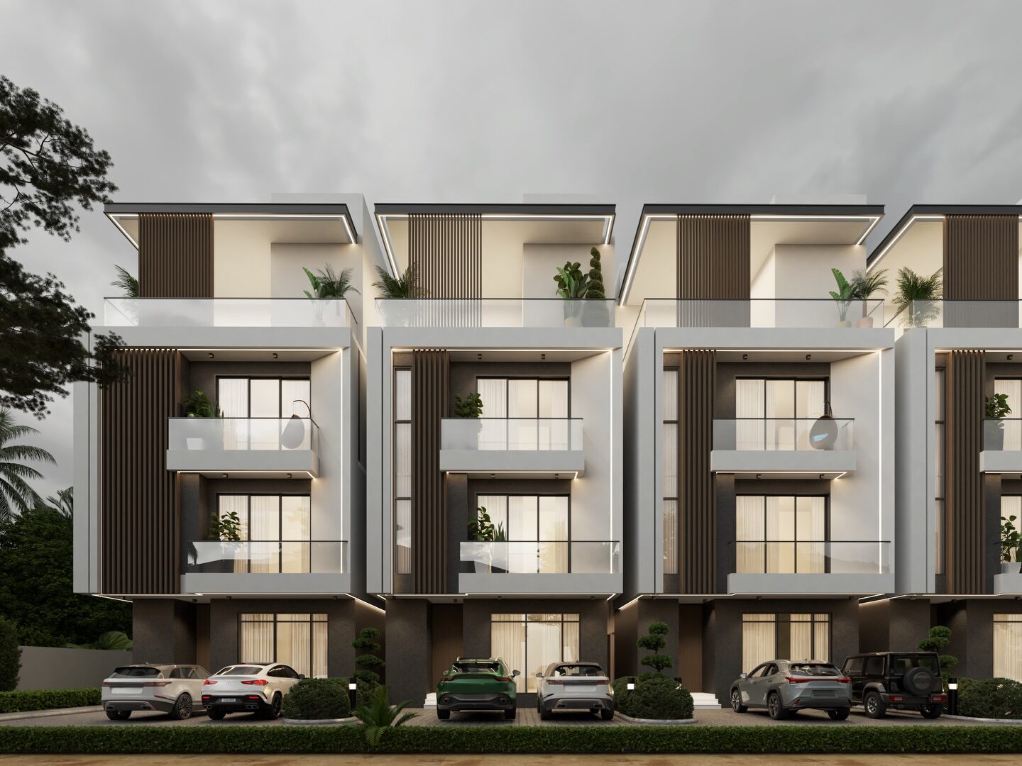
Distinctive architectural solutions blending modernism with contextual sensitivity across East Africa.
More Details ↗
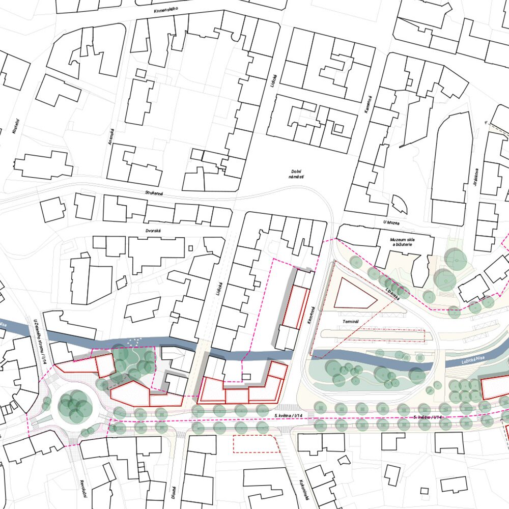
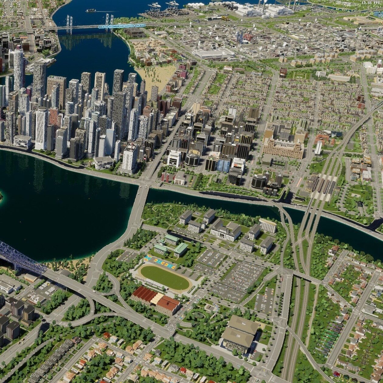
Strategic master planning creating liveable, sustainable communities across Tanzania.
More Details ↗
Comprehensive property valuation and advisory connecting investors with prime opportunities.
More Details ↗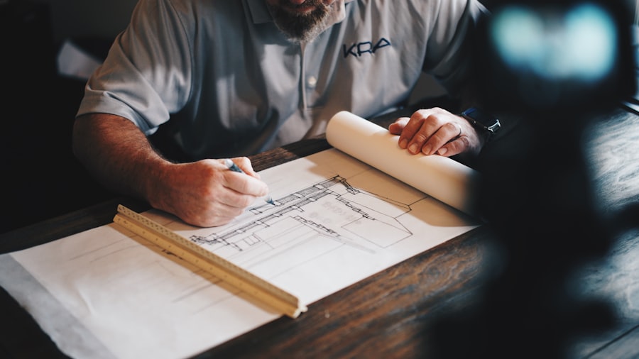

ArdhiVision has been at the forefront of Tanzania's land and spatial development for over a decade. Our multidisciplinary team of licensed surveyors, architects, and urban planners deliver projects that stand the test of time.
Landmark projects shaping Tanzania's built landscape from coast to capital.
220-hectare mixed-use waterfront integrating residential, commercial & public space.
Premium 12-storey residential tower.
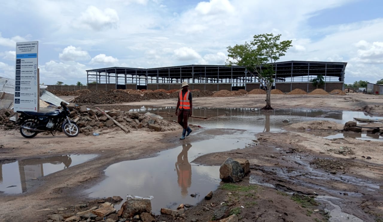
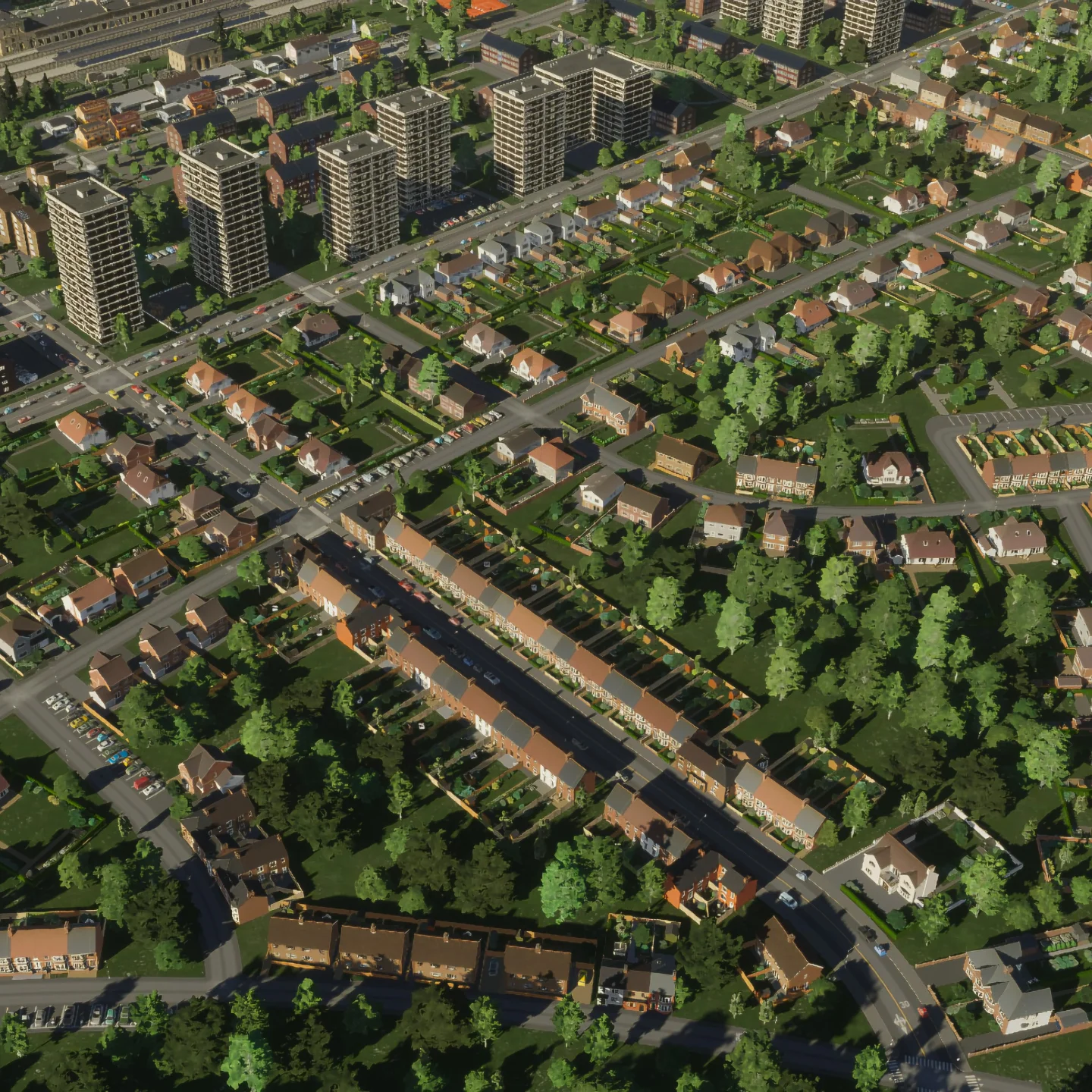
450 acres of precision mapping.

Luxury estate subdivision.
Future-ready transit-oriented master plan.
ArdhiVision transformed our 50-acre plot into a fully surveyed, subdivision-ready development in under three weeks. Their precision and professionalism are unmatched in Tanzania.James Mwakasege — CEO, Mwakasege Properties


Precision-led solutions across land, design, and urban development — delivered by Tanzania's foremost specialists.
Frequently Asked Questions
Find answers to the most frequent questions about our surveying, architecture, and urban planning services.
A standard boundary survey for a residential plot takes 3–7 working days. Topographic surveys take 1–2 weeks. Drone surveys 3–5 days. Express turnaround is available on request.
Yes! We operate across all regions of Tanzania including Arusha, Mwanza, Dodoma, Mbeya, Tanga, Zanzibar and rural areas. Travel and mobilisation costs may apply.
We accept M-Pesa (0658 255 244), Tigo Pesa, bank transfer (CRDB Bank — ArdhiVision Ltd) and cash at our Magomeni office. A 50% deposit is required to commence work.
Yes. All survey and valuation reports are prepared by licensed professionals registered with the relevant Tanzanian authorities and are accepted by all major Tanzanian banks.
You need: a copy of the title deed or Right of Occupancy (ROO), a national ID or passport, and any previous survey documents if available.
Yes. All digital building plan downloads are delivered to your registered email address within minutes of payment confirmation.

Whether you need a boundary survey, architectural design, or a full urban planning engagement — our team delivers precision from day one.